Survey of the Northwest Branch of the Miramichi
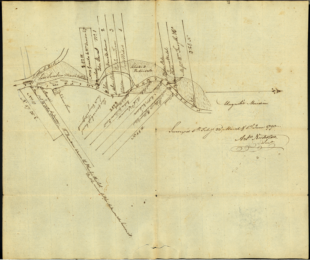
Survey of the Northwest Branch of the Miramichi
Arthur Nicholson, District Surveyor
5 February, 23 March, and 1 June 1790
UNB Archives & Special Collections. Indian Affairs Documents, MG H54.
University of New Brunswick, Fredericton, New Brunswick
Like many early public officials in New Brunswick, Arthur Nicholson served with the British Army during the American Revolutionary War (1775-1783). At war’s end, he decided to settle in New Brunswick rather than return home to Ireland. In 1788, he received a tri-appointment as the collector of customs, land surveyor, and magistrate of Northumberland County. The maps he produced while fulfilling his duties as surveyor determined the boundaries of the modern-day city of Miramichi. He stayed in this position until summoned by the army to serve as adjutant in the King’s New Brunswick Regiment in 1794. Leaving the service a few years later, Nicholson and his wife retired to Carleton County, where he became a school teacher.